|
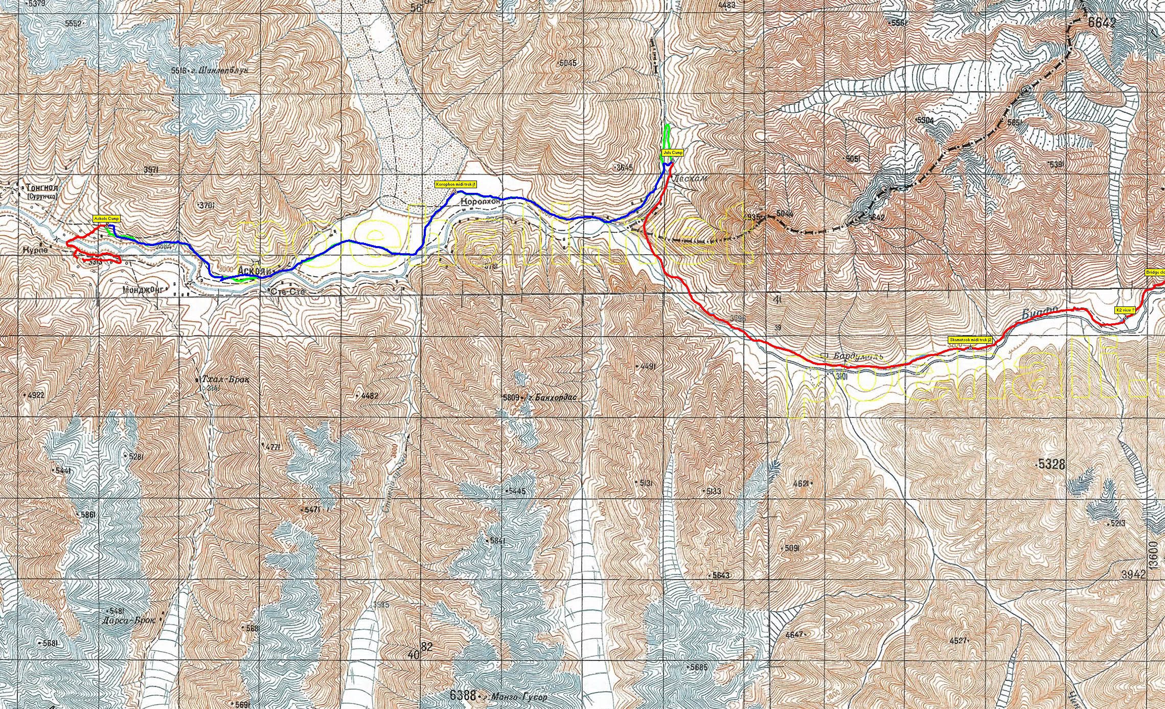
| 1 | The "Russian Map" showing the lower part of the trek (you may download the map and then zoom to see the details, the jpg is precise enough, same for all the maps) | 2279x1386px | 2.1MB |
 |
| Nombre total d'images: 4 | SG | Aide |
|
| 1 | The "Russian Map" showing the lower part of the trek (you may download the map and then zoom to see the details, the jpg is precise enough, same for all the maps) | 2279x1386px | 2.1MB |
|
|
| Nombre total d'images: 4 | SG | Aide |